
Mayfield Heights ZIP Code Coverage
Official City Hall, Building Department, public-records material, and the Mayfield Heights Board of Elections location all use 44124. That is the verified working postal identifier for city-oriented address research. The research did not verify a second ZIP serving a Mayfield Heights municipal address, so a complete multi-ZIP claim would be misleading. Verify the exact delivery address before using it in a request, a property search, or correspondence.
The local ZIP code directory should therefore be read as an address-verification reference, not a claim that a postal route outlines the city. The only verified row and the documented gap are both retained below.
| ZIP | Areas Covered | Post Office / Label | Notes |
|---|---|---|---|
| 44124 | City Hall, Building Department, and the Mayfield Heights BOE location provide verified municipal examples. | Mayfield Heights mailing label used by official city sources | Do not assume every 44124 address is inside Mayfield Heights city limits. |
| Not verified | No second municipal ZIP was located in the inspected official sources. | Not established | USPS address-level verification or an official local ZIP map is needed before publishing another ZIP. |
Postal routing, municipal limits, voter precincts, neighborhood names, and parcel lines serve different purposes. The number on a letter does not change which office keeps a deed, docket, tax record, city permit, or voter registration.
Verify a Mayfield Heights ZIP
Start with the full street address, not a city name alone. USPS provides the delivery result for one address. Save the address as entered, the USPS result, and the date checked. That preserves the postal fact while leaving later parcel and city-boundary checks tied to their own official sources.
Use the USPS address ZIP lookup before placing a postal identifier in a request.
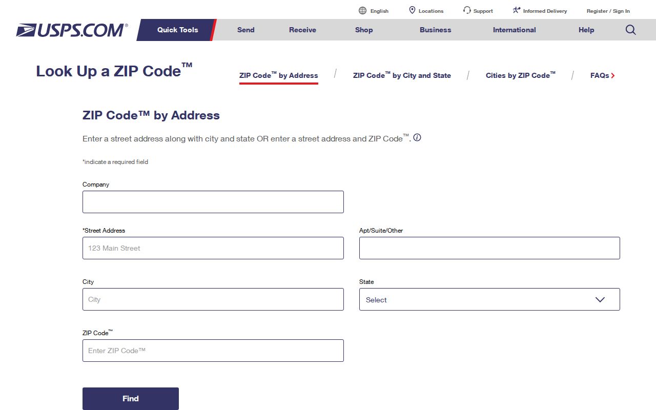
The screen is an address-level delivery tool. It does not identify a parcel owner, list residents, establish city jurisdiction, or replace a municipal-boundary check.
- Enter the exact address in the USPS lookup and retain its standardized result.
- Search MyPlace using City = Mayfield Heights and then the address, parcel, or owner path that fits the question.
- Use the county GIS municipal layer to check the parcel's geographic location when city limits matter.
- Preserve the parcel number and recorded legal description for a deed, tax, or historical-address question.
Mayfield Heights ZIP Search Limits
The inspected county and state search forms do not offer a ZIP-wide resident or property result. MyPlace begins with City and then offers Owner, Parcel, and Address choices. The Recorder Advanced Search has property address, parcel ID, party, date, document, volume/page, and legal-description fields, but no ZIP-labelled field. Ohio's individual voter lookup uses a person's first name, last name, and county.
That limitation matters. A ZIP code can verify an address, but it cannot produce a complete owner, deed, or voter list from the forms inspected. Begin with city, street, parcel, legal description, or a named person, depending on the record sought.
| Official system | Visible search controls | ZIP field |
|---|---|---|
| MyPlace | City, then Owner, Parcel, or Address; map users zoom and click a parcel. | No ZIP field was visible. |
| Recorder Advanced Search | Property address, parcel ID, party, date, document/volume/page, and legal-description inputs. | No ZIP-labelled field was captured. |
| Ohio My Voter Information | First Name, Last Name, and County for an individual confirmation. | No ZIP field was captured. |
After narrowing an address this way, the Mayfield Heights street directory gives the street-by-street record trail. It does not turn a postal area into a household roster.
Mayfield Heights City and Parcels
MyPlace and the county GIS are useful because they answer different questions from USPS. MyPlace applies a county municipality filter and connects a result to its parcel details. The county GIS supplies a spatial view of the parcel and municipal boundary. The Recorder's legal description is the documentary bridge to the lot, subdivision, condominium, or section named in a deed or plat.
The Cuyahoga County GIS resources show the county's mapping entry points.
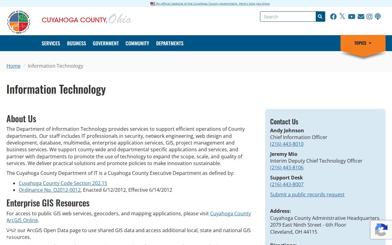
Use the map as a spatial check. MyPlace itself says its GIS compilation is not the official record, so a pivotal ownership question should be confirmed with the Recorder's recorded instrument or Fiscal Office guidance.
Mayfield Heights ZIP Code Boundaries
ZIP boundaries and city limits do not coincide. An address carrying a Mayfield Heights mailing label can sit outside the municipal line, and an address inside a municipality can have a postal label associated with another locality. Parcel geometry, the City selection in MyPlace, and the USPS delivery result should be recorded separately when the distinction affects a search.
The city street map can orient a search around I-271, Mayfield Road, SOM Center Road, and municipal edges, but it is not an addressing authority. It should not be used to infer a ZIP boundary or a complete city address list.
The City's Mayfield Heights information outlets use the same municipal mailing context documented in the postal record.
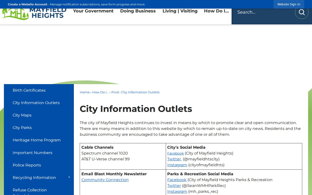
The city source supports the locality context, while USPS remains the source for the ZIP of a single delivery address.
Mayfield Heights Voter Areas
Voter geography is a separate layer again. The Cuyahoga Board of Elections offers Registered Voter Lists by City Districts and includes Mayfield Heights among its data-file downloads. That is a city/district channel, not an open-ended search by postal area. For a named person's current registration, precinct, or polling-place question, Ohio My Voter Information is the individual confirmation route.
See the Board's city and district data entry point.
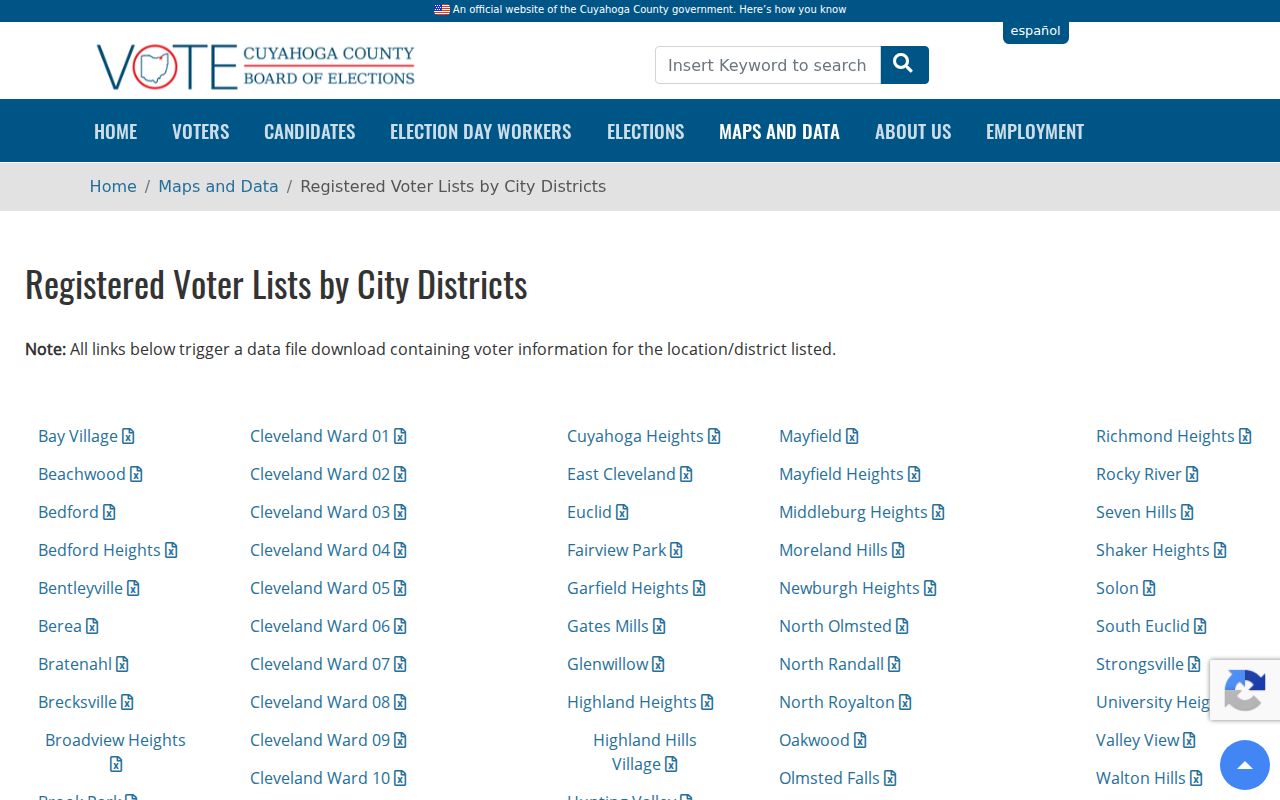
Precincts and polling locations can change. Voter results also exclude Safe at Home participants and other protected information, so an absent result is not proof that someone does not live in a particular postal area.
Older Mayfield Heights Address Names
Older records can use geography that predates the current city and postal label. The city's history identifies State Road as the earlier name for Mayfield Road, surveyed and cut through in 1832. Mayfield Township was established in 1819; villages split from it in 1920; Mayfield Heights became a village in 1925 and a city in 1951.
For a historical deed, directory, map, church entry, or census description, try Mayfield Township, State Road, an older village name, and the current street or locality. Keep the parcel's legal description as the bridge between changing names. The early-1950s Lyndhurst-Mayfield Post Office later moved to Landerbrook, another reason postal labels should not be treated as fixed historical boundaries.
Log Mayfield Heights ZIP Checks
Keep five details together for an address that may cross a city or postal boundary: the exact address entered in USPS, the USPS result and date, the county City filter, the parcel number, and the recorded legal description. A later search can then show whether a mismatch came from a delivery label, the municipal filter, or the parcel record rather than from an assumed change of residence.
A parcel number is also not an address or postal identifier. The County Map Room describes its permanent parcel number as 000-00-000: the first three digits identify a map book, the next two a map page, and the last three a circle. A situs address identifies the physical parcel. A mailing address identifies where correspondence or a tax bill is sent. The legal description identifies the recorded land interest. All three may be needed for a sound property search.
Reverse and criss-cross directories traditionally start with the physical address, not a current postal route. Standardize the present delivery address with USPS, then search the older street and locality terms while using the parcel and legal description to connect the records.
City Hall, the Building Department, and the City police-records channel use the City's 44124 address. The Recorder, Fiscal Office, Probate Court, and Archives use Cleveland offices. A local delivery ZIP does not move a deed, docket, tax record, or archive request to a different custodian.
Mayfield Heights ZIP Code Terms
Postal and property terms are easy to blend together. Keeping them distinct makes a search log easier to review and avoids assuming that a delivery label identifies a city boundary or ownership record.
- ZIP code
- A USPS delivery-routing identifier. It is not a city limit, parcel boundary, voter precinct, or neighborhood line.
- ZIP+4
- An added four-digit delivery segment used with the five-digit ZIP. It refines mail sorting, not municipal jurisdiction.
- PO box ZIP
- A postal identifier used for post-office boxes. No Mayfield Heights PO box ZIP was verified in the inspected local sources.
- Unique ZIP
- A ZIP assigned to one organization or high-volume recipient. No local unique ZIP was verified in the inspected sources.
- Carrier route
- A mail-delivery route within postal operations. It is not a reliable resident list or political boundary.
- Legal description
- The recorded lot, subdivision, condominium, or section language that ties an address to a deed or plat.
For an uncertain address, retain the exact USPS address and result, the MyPlace city filter, parcel number, and recorded legal description together. That trail is more reliable than treating a postal label as the answer to every local-records question.