
Mayfield Heights Previous Residents Sources
Previous residents of a Mayfield Heights address are traced through ownership records and time-specific listings, not one master list. Begin with today’s parcel, then work through transfers and recorded documents. A deed can identify a recorded owner change. A directory or census source may identify a listed household at another time. Keeping those roles separate makes a house history more reliable, especially when an owner’s mailing address differs from the property address.
Use the era as a routing tool. The Recorder index has county document coverage from 1810 to the present. MyPlace gives the current parcel bridge. Cleveland Public Library holds suburban and criss-cross directory runs. County Archives and the Map Room take over when older maps, tax material, or appraisal context are needed. Mayfield Heights city records can date a project, but the City did not publish a verified general permit-history search.
| Source | Years it covers | Where held | What it can show |
|---|---|---|---|
| Recorder recorded-document index | 1810–present | Official Records Search and Recorder counter | Parties, recorded and instrument dates, document number, legal description |
| MyPlace transfers | Current public portal with daily transfer updates stated | Cuyahoga Fiscal Officer | Parcel anchor, situs and mailing fields, transfer and legal-recording paths |
| Suburban directories | 1924–1963 collection; East/West suburban titles from 1964 | Cleveland Public Library | Listed names and addresses where the volume covers the location |
| Criss-cross directories | 1923, 1925–26, 1960–93, 1996–2010 print, with listed microfilm segments | Cleveland Public Library | Address to listed subscriber or occupant |
| Federal census | Named public releases through 1950 | National Archives and genealogy access | Household evidence on the census date |
| County archives tax and maps | Tax material 1819–1986; original maps 1860–1945 | Cuyahoga County Archives | Historic lot, owner, valuation, and map context |
Note: A listed name, owner, or taxpayer can be an important lead, but no one source confirms every past resident of a Mayfield Heights home.
Mayfield Heights Parcel Before a Name
Anchor a backward search with the MyPlace parcel card. The county screen supports City, Owner, Parcel, and Address searching. Save the parcel ID, current situs address, owner label, mailing address, Transfers, and Legal Recordings. A situs address is the physical property location. The mailing address is where county tax mail goes, which may be a post-office box, estate, trustee, management office, or an address outside the city.
The legal description is the stronger bridge when a building has a changed number, a condominium unit, a split parcel, or an older map label. MyPlace includes general information, transfers, tax, permit, and legal-recording navigation, but the County calls its GIS data a compilation rather than the official record. Move from the parcel to the Recorder’s filed instrument for a decisive ownership fact.
- Grantor
- The party who transfers an interest in the recorded instrument.
- Grantee
- The party receiving an interest in that instrument.
- Chain of title
- A sequence of recorded ownership transfers connected by the same property’s legal description.
- Legal description
- The recorded lot, subdivision, condominium, section, or other property description that ties a deed to land.
Trace Mayfield Heights Past Owners
The Cuyahoga Recorder is the source for a recorded deed chain. Its Official Records Search supports party names, grantor and grantee roles, recorded and instrument date ranges, document types, parcel ID, property address, volume, page, and legal-description fields. Retain the dashes in a parcel number, such as 999-99-999. The county reports 1810-to-present document coverage, but an older image or unclear scan may still require the counter or a copy request.
- Open the MyPlace parcel record and write down the parcel ID and legal description.
- Follow Legal Recordings or search the Recorder by the dashed parcel ID, address, legal description, or current party name.
- Record the document number, type, instrument date, recorded date, grantee, grantor, and legal-description wording.
- Search the prior owner as a grantee to find that party’s earlier acquisition of the same legal description.
- Repeat only when the parcel, lot, or description and chronology continue to match. Use the Recorder counter or copy route for an uncertain link.
A transfer date can reflect more than an ordinary sale. The Map Room notes that a re-filing, name change, added name, or transfer-on-death deed can create a transfer entry. That is why each item needs its document type and legal-description check.
Mayfield Heights Maps Fill Older Gaps
When a digital deed chain becomes unclear, Cuyahoga County offers two documented older-property channels. The Fiscal Office Map Room uses permanent parcel numbers in 000-00-000 form, with map book, map page, and circle components. Staff can provide a map or ownership page and research roughly 40–50 years of earlier ownership. The Map Room’s tax mailing-address caution still applies: mail destination is not proof that a person occupied the parcel.
Cuyahoga County Archives provides the longer-run route by appointment. Its property research covers deeds and ownership from about 1810 to present, tax material from 1819 to 1986, original maps from about 1860 to 1945, and historic county atlases. Archives asks researchers to begin with the street address or parcel number, warns that street names and property descriptions change, and limits requests to ten volumes or documents at a time. It is at 3951 Perkins Avenue in Cleveland, with appointments and records help at 216-443-7250.
The County Archives property-research page describes that appointment-based historical path.
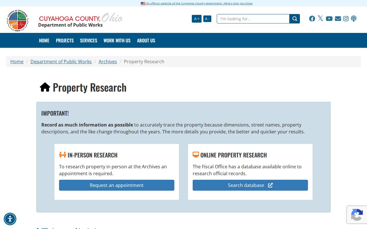
The Archives is most helpful when an address needs to be reconciled with a historic lot, tax duplicate, appraisal card, or original map rather than guessed from a modern map image.
Mayfield Heights Had Earlier Names
Old Mayfield Heights address research has a geography problem before it has a name problem. The present city was part of Mayfield Township, established in 1819. The City says Mayfield Heights became a village in 1925 and a city in 1951. Mayfield Road was surveyed and cut through as State Road in 1832. A pre-city directory, map, church, or property source may therefore use Mayfield Township, State Road, Mayfield Center, an eastern-suburb title, or a nearby community label.
No official citywide renumbering ordinance or specific Mayfield Heights renumbering year was verified. Do not invent one. Compare the address with a plat, map, legal description, and the Mayfield Township Historical Society’s local-history context before treating an old number as the same house. The historical society research library is at the Bennett–VanCuren Historic House in Mayfield Village and accepts research inquiries by appointment or phone.
Note: The older township or road name is a search term, not proof that an old listing and a modern parcel refer to the same place.
Mayfield Heights Past Household Listings
Previous residents research needs a household layer after the ownership trail. Cleveland Public Library’s directory guide identifies 83 suburban Cleveland directory volumes from 1924 through 1963, then East and West Suburban titles from 1964. Criss-cross sections are arranged by address and can lead from a known house number to a listed subscriber or occupant. The collection requires edition-by-edition geographic coverage checks because a current Mayfield Heights address may be filed under a suburb or broader eastern-suburb title.
For the history of a specific address, record the edition year, title, page, and the volume’s abbreviation key. Search the listed surname in the alphabetical portion, then compare the directory finding with a census schedule and a Recorder transfer. A disappearance can mean a changed listing, changed boundary, or relocation. It is not enough by itself to establish a death or a move date. The collections themselves are described in the Mayfield Heights city directories.
- Start with the exact current or historic number, street spelling, and parcel/legal-description notes.
- Find the matching criss-cross or suburban directory edition and preserve its coverage note and page.
- Use the listing to locate the alphabetical entry, then note the displayed name form and occupation or spouse notation only when shown.
- Compare the directory year with the nearest public census schedule, including the named 1950 release where applicable.
- Use a recorded transfer, probate case, or city file only when its date and property or person identifiers match.
Mayfield Heights Permit Dates and Projects
City building material can explain when a Mayfield Heights property changed physically. The Building Department handles construction, renovation, expansions, and zoning processes. Its forms identify project and work-location details, while Citizenserve is the portal entry for permitting, inspections, complaints, registrations, and point-of-sale activity. The City did not provide a verified public permit-history search field list, so a session screen should not be represented as an address roster.
Request an existing permit, final inspection, plan, or board action by exact address, approximate date, and record type. A city permit may show construction, alteration, or an application relationship. It does not prove who lived in the home before or after the project. For a site change, pair the city file with a recorded deed, tax map, or directory listing instead of treating it as a stand-alone occupancy record.
The Fiscal Office Map Room and Digital Imaging page documents the county map and prior-ownership backup.
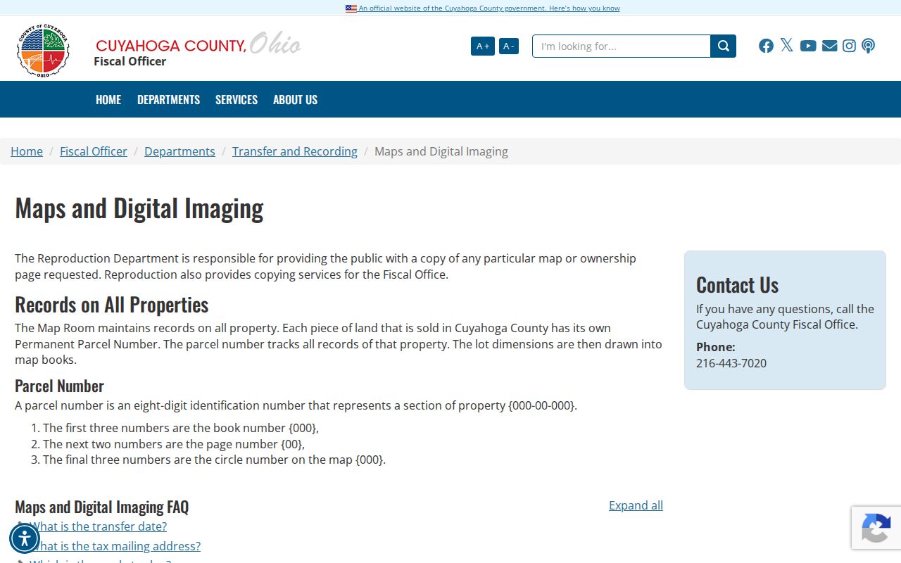
The Map Room channel can help bridge a newer parcel number to older map or ownership material before a researcher draws a conclusion about a house history.
Mayfield Heights Previous Residents Evidence Log
Keep a dated evidence log for every previous residents search: MyPlace parcel ID and access date; Recorder document number and type; recorded and instrument dates; grantor and grantee roles; legal-description excerpt; copy or image status; directory title, edition, and page; and any city permit number. This makes it possible to revisit a weak link without merging similar names or nearby properties.
A new parcel ID may result from a split, consolidation, condominium, or retired parcel. The county GIS carries parent-parcel and born/retired attributes that can flag the issue. Work from the recorded legal description and a map or plat in that case. A sharp valuation increase in older material is a lead to investigate construction timing, not absolute proof of a build date.