
Sources for Mayfield Heights Neighbors
A Mayfield Heights neighbors search needs to keep the block question narrow. The County’s integrated property map and parcel cards identify adjacent parcel geography and selected property fields. The Recorder can confirm a documented transfer or legal description. Voter access is either a named lookup or a city-labelled Board of Elections data route. City permit, zoning, and agenda records may document a specific address action. A Cleveland Public Library criss-cross volume adds a historic listed subscriber at an address when that edition covers the street.
| Block source | What it shows around an address | Access and boundary |
|---|---|---|
| MyPlace map and parcel card | Adjacent parcel geography, parcel ID, and selected owner or mailing labels | Free map click; verify a pivotal detail through the parcel card and recorded document. |
| Recorder deed index | Recorded transfers, party roles, dates, and legal descriptions for selected parcels | Public index; deed data is not a current resident roster. |
| BOE city list or voter tool | City-labelled data route or a named voter’s limited registration and precinct information | No anonymous street browse through the statewide lookup; confidential records remain excluded. |
| City permits, zoning, and BZA | Existing project, variance, or board-history context tied to an address | Counter, request, Citizenserve route, and public agendas; redactions can apply. |
| CPL criss-cross volumes | Historical address-ordered listed subscriber or occupant | Edition and coverage vary; it does not identify every member of a household. |
Each source is evidence about a different official activity. Keeping the parcel ID, situs address, legal description, and record date together prevents a map result from becoming an unsupported conclusion about a whole block.
Start With Mayfield Heights Parcel Geometry
The proper first step is the County map, not a presumed radius around a mailing address. In MyPlace, use City and Address to reach the focal parcel, then zoom and click the adjoining polygon one at a time. Write down each selected parcel’s PPN, situs address, and owner or mailing label. Side-by-side mailing addresses do not establish a shared boundary, and one large parcel or a condominium can make a visual reading incomplete.
The public GIS service supports the MyPlace map layer. It exposes PPN, parent parcel, born and retired dates, map book and page, parcel or sub-lot information, building or unit counts, dimensions, acreage, and geometry. Those fields help explain a split, consolidation, retirement, or unit boundary. They do not turn a geographic result into proof about an unrecorded person.
The MyPLACE Consolidated GIS service is the public County map-layer source used for parcel orientation.
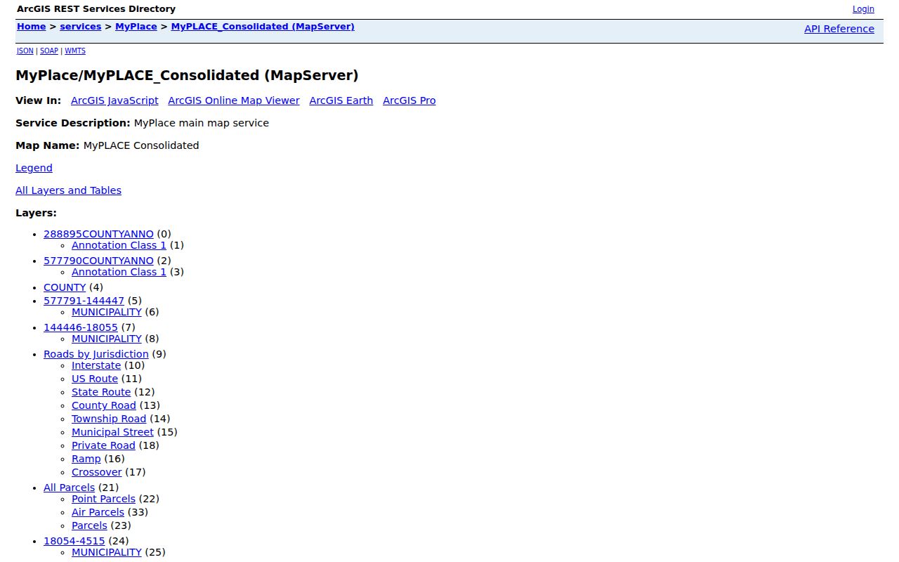
The service is valuable for visual parcel order, but the selected card and recorded document are still needed to verify a record detail.
Map Mayfield Heights Block Parcels
Mapping Mayfield Heights neighbors should move outward from one verified parcel. The process follows the polygons rather than a broad name search. Record only the fields necessary to connect each parcel to its documentary trail. When a unit, merger, or retired parcel makes the geometry unclear, use the legal description and building information before moving to a deed.
- Locate the focal address in MyPlace and open its parcel card.
- Zoom the integrated map and click each adjoining parcel polygon one at a time.
- Record the PPN, situs address, and the parcel-card owner or mailing label for each selected parcel.
- Use the PPN, property address, or legal description in Recorder Advanced Search for a specific recorded document.
- Compare the legal description, document dates, and party roles before treating the document as a match.
The County parcel-layer details show why PPN and geometry are better anchors than a casual visual match.
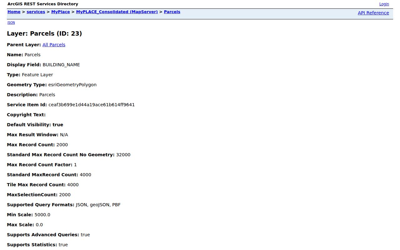
The layer can orient a block and flag complex parcels, while each parcel card and deed provides the usable record trail.
For a full named-street sequence rather than the immediate block, use the Mayfield Heights street directory workflow.
Note: Preserve the selected parcel’s legal description when parcels split, merge, retire, or use condominium unit records.
Parcel Records Are Not Neighbor Rosters
A parcel card can show selected property information, and a deed can identify the parties to a recorded instrument. Neither source says who is currently present at every address. A mailing address can be off-site, and a map polygon only establishes a spatial relationship. The gap is important because it keeps an address-based inquiry tied to documented property facts rather than assumptions about private lives.
| Official record route | Commercial neighbor-lookup category |
|---|---|
| Shows the custodian, search field, document or parcel tied to a result. | May combine sources with uncertain update dates and unclear matching methods. |
| Allows parcel, legal-description, and recorded-document checks when a detail matters. | Can suggest a connection without the parcel or document needed to verify it. |
| Preserves statutory exclusions, redactions, and confidential-voter limits. | Does not replace the lawful-use and privacy limits that apply to the underlying records. |
The useful comparison is not speed alone. Official sources let a Mayfield Heights neighbor question be checked against a parcel key, legal description, or recorded date, which is the information needed to correct a false match.
Mayfield Heights Block Transfer Records
MyPlace Transfers and Legal Recordings can lead from a selected parcel to the Recorder’s document search. In the Recorder interface, a search can be narrowed through party names, grantor or grantee roles, recorded or instrument date ranges, document type, parcel ID, property address, volume and page, or legal-description fields. Keep the dashes in a parcel ID and compare the legal description before treating a party match as a match for the block.
A transfer date is not always a conventional sale date. Cuyahoga County’s Map Room notes that re-filings, name changes, an added name, and transfer-on-death deeds can also create transfer entries. The document type and its recorded context matter. A recorded change is useful for the parcel history, not a measure of who may be present now.
Cuyahoga Property Alert offers a free name, keyword, or found-document alert for real-property filings.
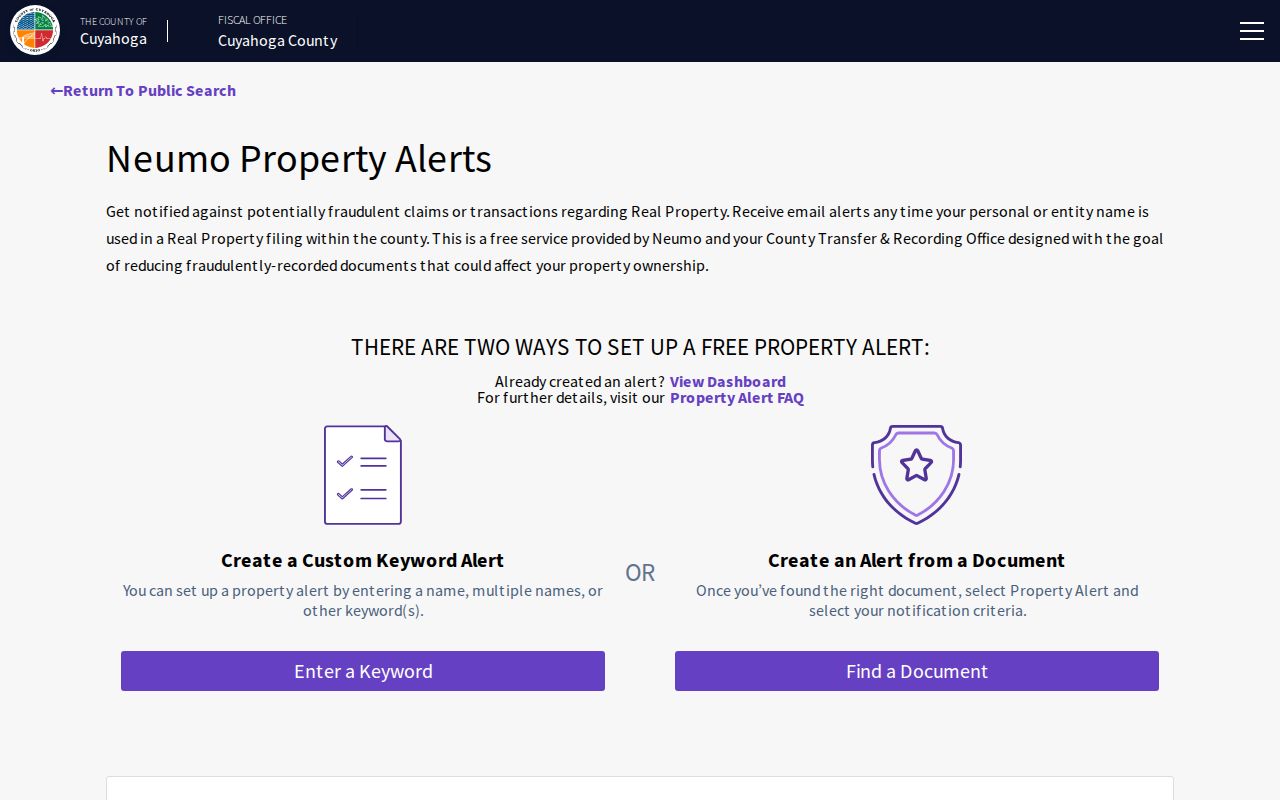
An alert can help monitor a filing question, but the Recorder warns that it does not guarantee detection and it is not a block directory.
Mayfield Heights Block Address Records
The City can hold records that explain an address-specific project or decision. Building Department forms and Citizenserve provide the service route for permits, inspections, registrations, complaints, and point-of-sale work. The Building Department or a focused public-records request is the documented fallback when an existing historical permit or inspection record is not displayed online. Ask for a final notice, permit, inspection, plan, or resolution by address and approximate date rather than relying on an allegation.
The Agenda Center adds a useful defined-record channel. Its filters include start date, end date, word or phrase, and category. Inspected categories include Architectural Board of Review, Board of Zoning Appeals, City Council, Neighborhood Watch, Planning Commission, and Records Commission. An agenda mention can identify where to ask a more precise records question. It does not replace a filed deed or create a list of neighbors.
Mayfield Heights Agenda Center provides the City’s searchable meeting-material route.
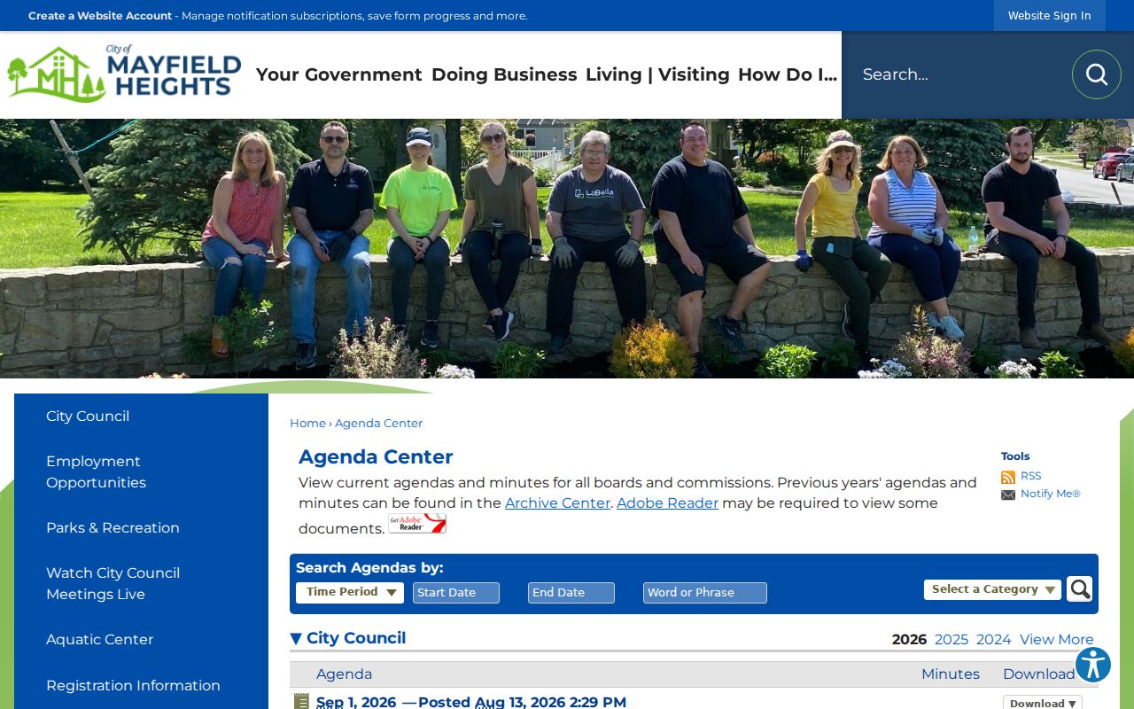
The category and date filters are a practical way to find a defined City action before requesting the underlying record.
Mayfield Heights Neighbor Voter Boundaries
Ohio My Voter Information requires first name, last name, and county. For a successful named match, it provides limited registration, precinct, and polling information. The Cuyahoga Board of Elections city-district page is a separate Mayfield Heights-labelled data-file route. Neither is an anonymous control for displaying everyone on a street.
Safe at Home records are excluded from the public voter lookup, and Ohio law also protects several voter-record fields. A no-match result does not establish that someone has left an address or is not registered. Ballot selections are secret, and participation history is not a statement about a vote. Use the individual lookup for a named civic question and use the City’s voluntary contact channels when the goal is to organize a watch.
Cuyahoga BOE city-district voter lists identify the county’s city-labelled download channel.
Note: Voter access is narrower than parcel access because a named lookup, statutory exclusions, and confidentiality protections apply.
Mayfield Heights Neighborhood Watch Contact
No official citywide neighborhood-association directory, HOA member directory, or block-watch roster was verified. The documented local civic route is Mayfield Heights Neighborhood Watch. It is voluntary and lets residents establish a street watch with Police assistance. The optional participation form asks for contact information, but the City does not publish its submissions. That form is not a source for identifying participants.
| Contact route | Purpose | Published contact | Limit |
|---|---|---|---|
| Mayfield Heights Neighborhood Watch | Voluntary street-watch organization with Police assistance | Sergeant Matthew Mikolay, 440-442-2323 ext. 357 | Not a public participant roster. |
| Mayfield Heights Neighborhood Watch | Voluntary civic contact route | Corporal Doug Woods, 440-442-2323 ext. 222 | Use published contacts, not private form entries. |
Mayfield Heights Neighborhood Watch describes the voluntary program and Police assistance route.
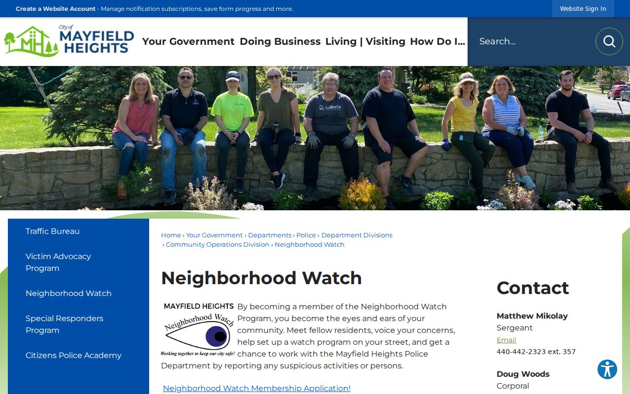
The City’s program supplies a responsible contact path for a block concern without publishing a directory of participants.
Historic Mayfield Heights Block Listings
For a past block, the Cleveland Public Library’s criss-cross collection is the address-to-listed-subscriber layer. The holdings include print runs in 1923, 1925, 1926, 1960 to 1993, and 1996 to 2010, with identified microfilm runs as well. Search a specific number, retain the edition and page, and compare the listing to a parcel or recorded date. A listing may be absent because the volume did not cover that street or community.
Older material may appear under Mayfield Township, State Road, or eastern-suburb coverage because Mayfield Heights was part of the former township before village and city status. The Mayfield Township Historical Society is a local-history research route, not a resident database. Its research library can help test a historic place term, map, or local record context.
Mayfield Township Historical Society provides the documented township-history research contact.
Privacy Limits for Mayfield Heights Neighbors
Public records can be inspected under Ohio’s Public Records Act, but each custodian must withhold or redact information protected by state or federal law. City requests can be made without a stated purpose, yet they remain subject to legal review and redaction. Protected voter records, vehicle information, utility and delivery data, and private community-participation details are not a public block roster.
For a disputed parcel, voter, court, or City record, contact the originating custodian with the record or parcel number. Do not republish a disputed detail and do not attempt to work around a confidentiality program. The smallest useful record is usually the right one for a family-history, civic, estate, or personal-safety question.
Lawful use. Mayfield Heights neighbor records are for lawful personal, civic, family-history, estate, or consumer-safety questions. Do not use them to stalk, harass, intimidate, or harm anyone.