
Search Mayfield Heights Streets in Order
A Mayfield Heights street directory is strongest when it follows the records in their natural order. Start with the County property system to find the parcel behind one street address. The parcel card separates the situs, or physical parcel address, from the owner mailing field. It also links to transfers and legal recordings. That connection avoids treating a mailing label as proof of who is physically present at an address.
The next stages test the parcel record against the filed deed, then use a named voter lookup and an older reverse directory only for the limited context each source can support. The street directory remains an address-led records chain, not a shortcut to a household roster.
- Open MyPlace, set City to Mayfield Heights when useful, and search by Address. Record the selected parcel ID, situs address, owner label, and legal-recordings link.
- Use that parcel ID, retaining its dashes, with the Recorder’s property-address or legal-description fields. Compare the grantor, grantee, recording date, instrument date, and legal description before connecting a deed to the parcel.
- For a named person, use Ohio My Voter Information with first name, last name, and Cuyahoga County. It checks a named registration and precinct record, not an anonymous street list.
- For an older address, consult the Cleveland Public Library criss-cross holdings. Preserve the edition, page, and abbreviation key because an address listing identifies only that volume’s listed subscriber or occupant.
Note: Keep a dated log of each parcel, document number, and edition so later matches can be checked against the same address trail.
MyPlace Fields for Street Directory Searches
MyPlace is the Cuyahoga County Fiscal Officer’s free property system. Its visible entry path begins with City and then lets the user choose Owner, Parcel, or Address. The results offer a clickable Parcel ID, a View Map route, and a Download Addresses CSV control. Once a parcel is selected, its tabs include General Information, Transfers, Values, Land, Building Information, Building Sketch, Other Improvements, Permits, Tax By Year, Legal Recordings, Informal Reviews, and Board of Revisions Cases.
The county describes this screen as a helpful public compilation, not the official deed record. It is useful for organizing a Mayfield Heights address search and for seeing which parcel fields may require a Recorder check.
| Field label | Type | Required / conditional | Options or record use |
|---|---|---|---|
| City | Select | Use when narrowing a municipality | Choose Mayfield Heights before the parcel search. |
| Search By | Mode selector | Choose one search mode | Owner, Parcel, or Address; use Address for the first parcel. |
| Parcel ID | Clickable result key | Available after a result | Opens the parcel card and bridges to Recorder research. |
| Transfers | Parcel-card tab | Available on a selected parcel | Shows the ownership-history path for comparison with recorded instruments. |
| Legal Recordings | Parcel-card tab | Available on a selected parcel | Connects the parcel to the documented recording trail. |
| View Map | Map control | Available from search results | Helps orient adjoining parcel geometry, not title by itself. |
Cuyahoga Real Property Information shows the county’s official property and plat-search routes.
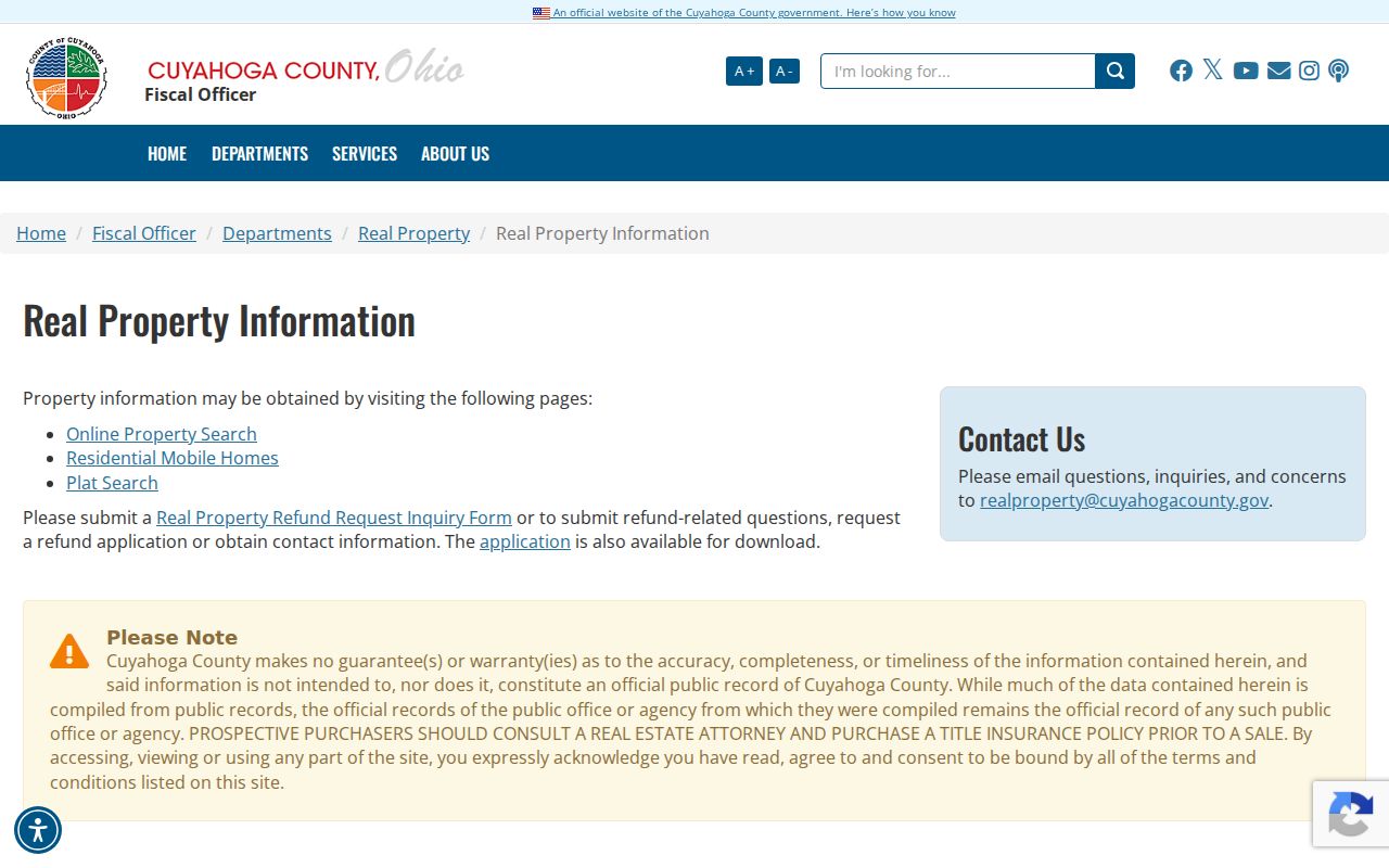
The property-search links reinforce the division between a practical parcel lookup and the official records that resolve a title question.
Mayfield Heights Street Records by Address
Several custodians hold address-keyed material, but none is a complete list of people on a Mayfield Heights street. MyPlace supplies parcel geography and property categories. The Recorder supplies the filed deed and legal description. City Building holds the municipal project route, while the Board of Elections offers a named-person lookup and a city-labelled download channel. The Cleveland Public Library preserves older criss-cross material.
| Address record | What it adds | Access and boundary |
|---|---|---|
| MyPlace parcel card | Parcel geometry, owner and mailing labels, transfers, tax, building, permit, and legal-recording tabs | Free county lookup; informational compilation rather than the official deed. |
| Recorder index and deed | Grantor, grantee, dates, document number, and legal description | Official Records Search and Recorder counter; county coverage is 1810 to present. |
| City permit or zoning file | Existing work, plan, inspection, or variance context by address | Building counter, Citizenserve route, agendas, or a focused public-records request. |
| Voter information | Limited registration, precinct, and polling context for a named match | Named statewide lookup or city-labelled BOE data route; protected records remain excluded. |
| Criss-cross volume | Historical address-arranged listed subscriber or occupant | Cleveland Public Library holdings; coverage varies by edition and street. |
For a street segment, the map establishes parcel order. The parcel card and deed establish the documentary path. A voter result or directory listing can add a dated, named record but should not be stretched into a claim about every person at the address.
Note: When a condo or a large parcel complicates the map, compare the legal description and building tab before relying on apparent boundaries.
MyPlace Versus Mayfield Heights Deeds
MyPlace is the fast way to anchor a Mayfield Heights street directory search to a parcel. A decisive ownership question belongs with the Recorder’s filed instrument. The county expressly cautions that GIS data are not the official record. Use both sources in sequence instead of asking either screen to prove more than it can.
| Question | MyPlace answer | Recorder answer |
|---|---|---|
| Which parcel matches this address? | City, Address, and map results identify a selected parcel and PPN. | Address, parcel, or legal-description fields can corroborate the recorded property. |
| What changed hands? | Transfers and Legal Recordings point to the record trail. | Recorded document type, parties, dates, and legal description identify the instrument. |
| Where should a pivotal ownership fact be confirmed? | Use as the county compilation and navigation aid. | Confirm with the official recorded deed or the Recorder’s copy process. |
Fiscal Officer services describes the ownership-history, parcel-address, land, building, and mailing-address information carried through the county property service.
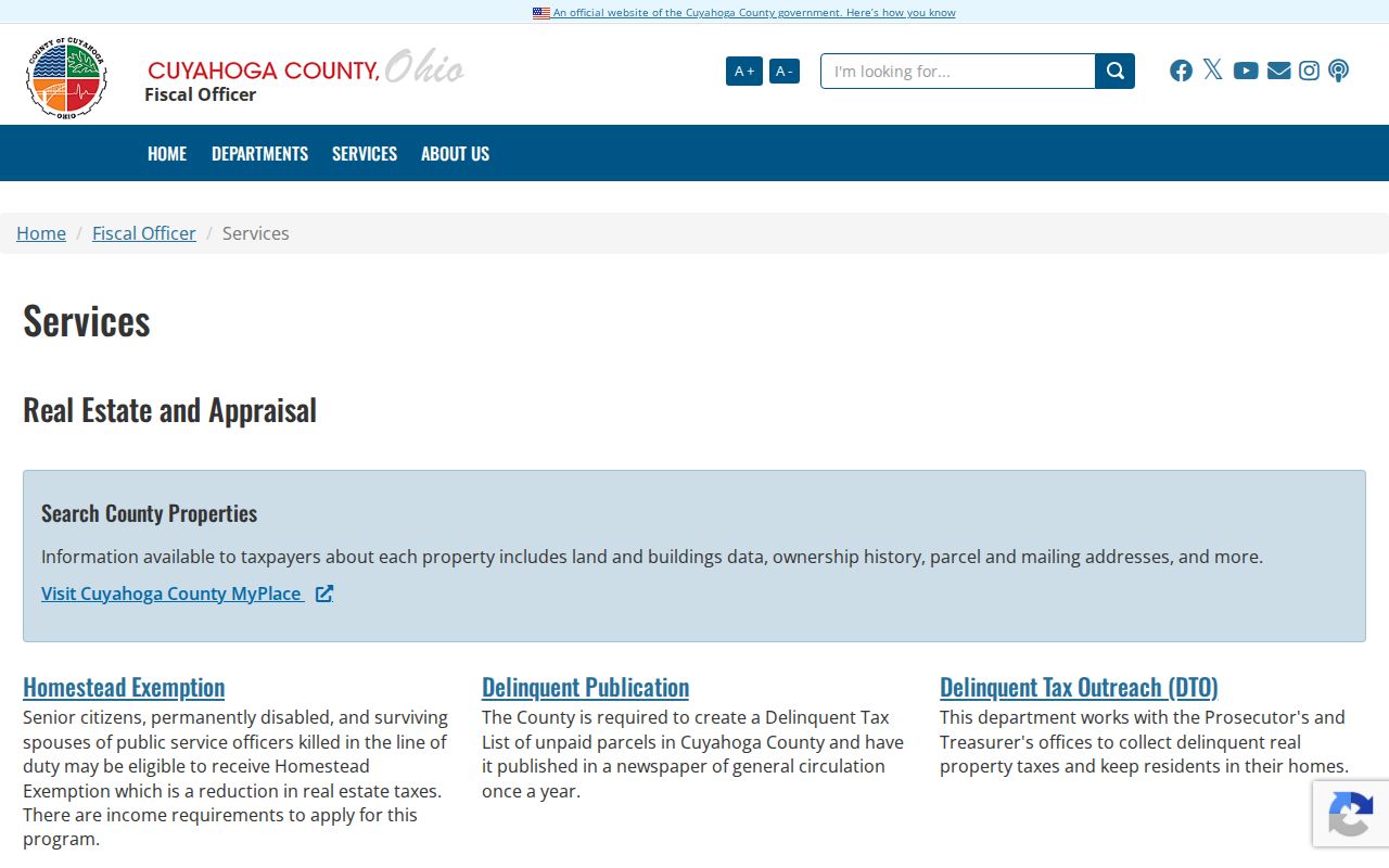
That service description is useful for choosing a tab, while the recorded document remains the title evidence.
Mayfield Heights Address Permit Records
City-created records take a different route from County property records. The Mayfield Heights Building Department handles construction, renovation, expansion, and building or zoning processes. Its forms inventory includes building, accessory-structure, electrical, roofing, sewer, swimming-pool, street-opening, vacant-property, contractor-registration, occupancy, and zoning-related forms. Citizenserve advertises permit application, review status, payment, inspections, registration, complaints, and point-of-sale services.
A reliably inspected public permit-history search was not located. For a past address question, ask for an existing permit, final inspection, plan, or BZA record by exact address, permit type, and approximate date. The City’s public-record policy permits a focused request without special wording, identity, or a statement of intended use, provided the record is described clearly enough to retrieve.
Mayfield Heights applications and forms show the address-oriented municipal record channels.
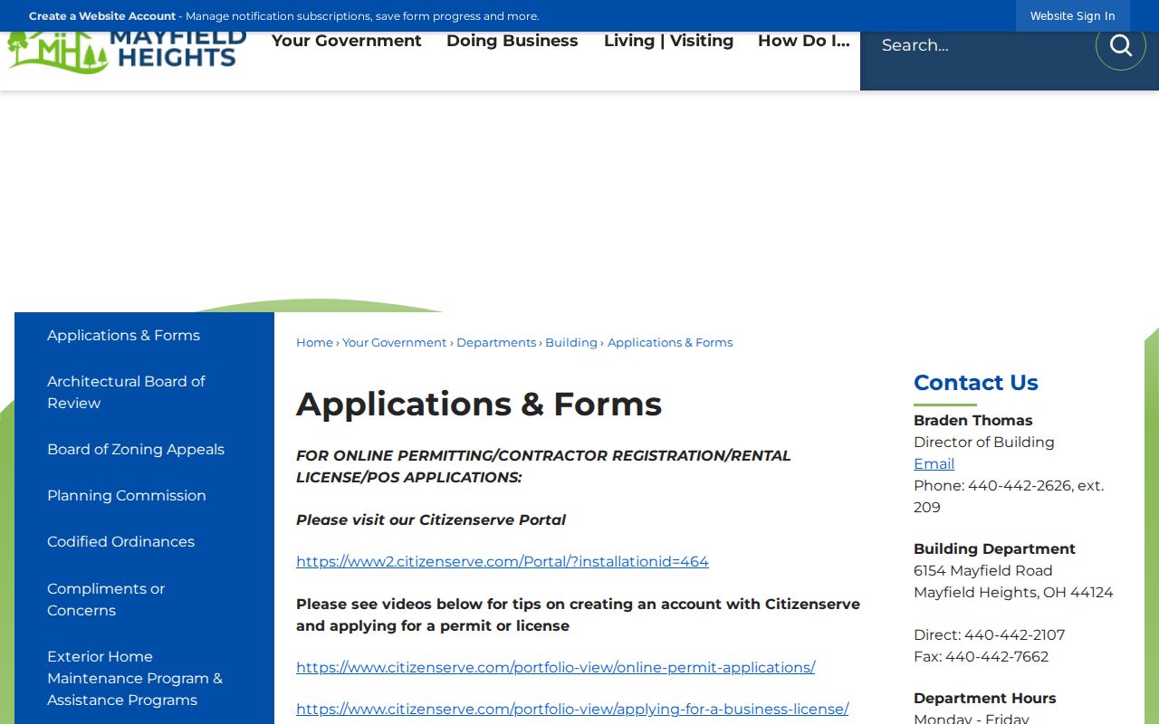
The forms identify the kinds of existing records to request, not a promise that every field or file is released without review or redaction.
Citizenserve is the City’s online service entry point for permit and complaint activity.
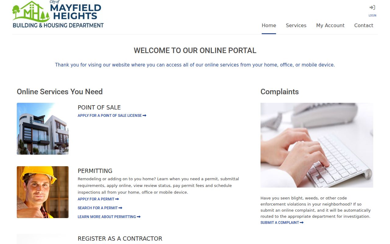
Use the portal for the available service path, then use a precise City request when an older address record is not shown online.
Follow Mayfield Heights Deed Chains
The Cuyahoga County Recorder’s interface supports a deeper street directory check than a name-only search. Quick Search can take a grantor, grantee, subdivision, document type, or document number with an optional recorded-date range. Advanced Search separates party roles, recorded and instrument dates, document types, parcel ID, volume, page, property address, document-image phrase, and subdivision, section, or condominium legal descriptions.
Begin with the MyPlace parcel ID and retain the dashes. Then compare the legal description in each result to the parcel. Work backward from the present buyer or owner to the seller, and find the prior acquisition with that person as grantee. A common surname, changed street number, or a mailing address can otherwise connect the wrong record.
The County’s verified Recorder fee information lists ordinary copies at $2 per page and adds $2 for a certified recorded-instrument copy. Recording charges are separate from research-copy charges, so confirm the copy needed before requesting it.
Recorder Advanced Search displays the property, party, document, and date paths used for that comparison.
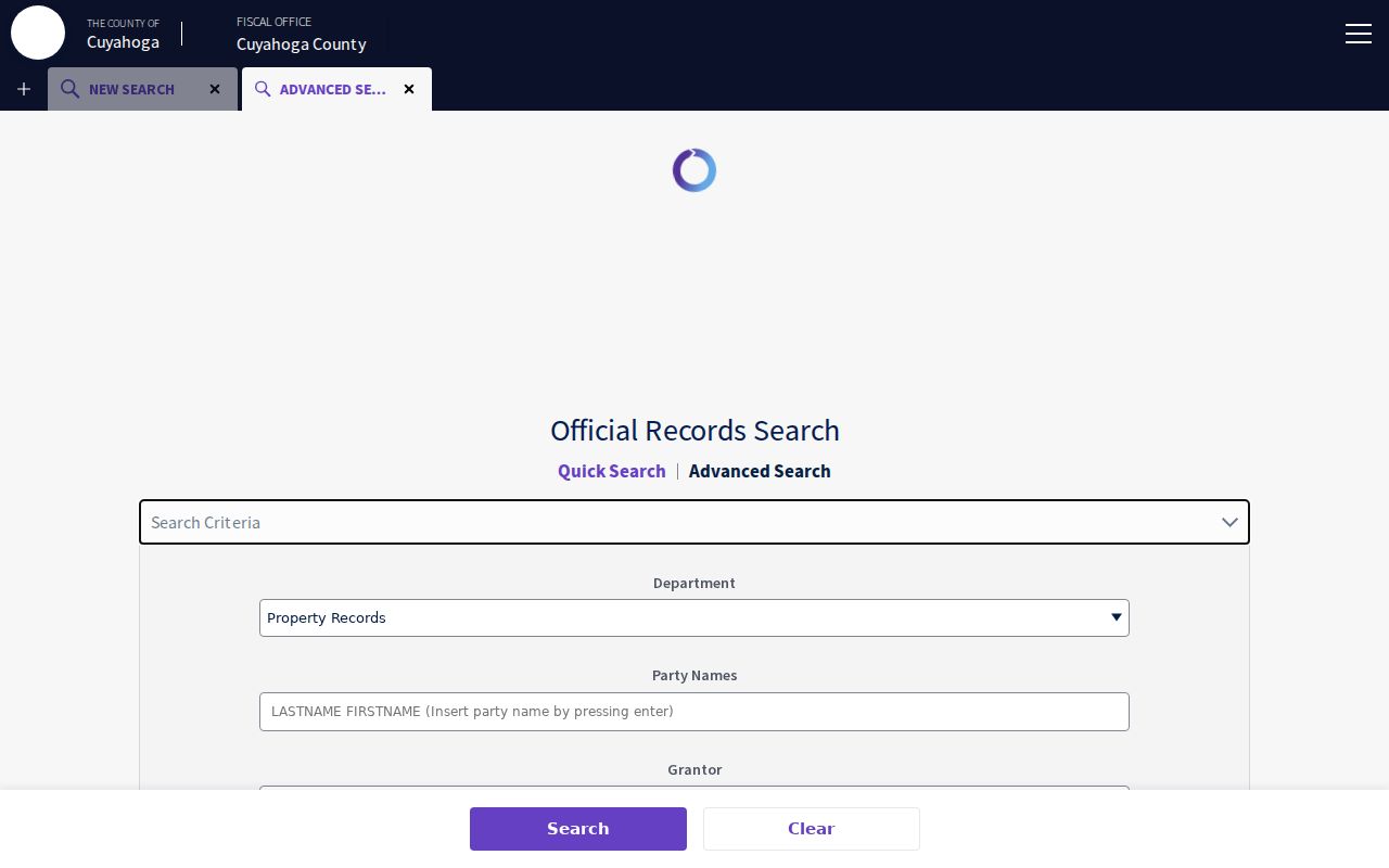
The separate fields make it possible to narrow a deed trail by parcel and legal description instead of relying only on a name match.
Mayfield Heights Street Record Terms
Street research becomes clearer once four terms stay distinct. A parcel number is the durable county key, an address is a useful entry point, and the legal description is the recorded bridge between them. These distinctions matter most when an older map, a split parcel, or a condominium does not follow today’s street-number pattern.
- Parcel
- A county-tracked piece of real property, identified in MyPlace by a parcel ID or PPN.
- Situs address
- The physical location of the real estate, distinct from an owner mailing address.
- Plat
- A recorded map or plan that can link a lot, subdivision, or boundary to its legal description.
- Criss-cross directory
- An address-arranged directory used to find a listed subscriber or occupant from a house number and street.
Note: A transfer entry can reflect a re-filing, name change, added name, or transfer-on-death deed, not only a conventional sale.
Older Mayfield Heights Street Evidence
For older property questions, the Fiscal Office Map Room and County Archives supply channels that a current screen may not resolve. Map Room staff can provide map or ownership pages and research roughly 40 to 50 years of prior ownership. The County Archives holds deeds and ownership material about 1810 to present, tax material from 1819 to 1986, original maps from about 1860 to 1945, and later-map routes through the Fiscal Office.
The Archives asks researchers to start with a street address or parcel number and cautions that street names, dimensions, and descriptions change. An appointment is required for property research, and the repository limits requests to ten volumes or documents at a time. These are the fallback channels when a parcel cannot be reconciled through the modern interface.
Cuyahoga Recorded Documents provides the Recorder’s official records and counter route.
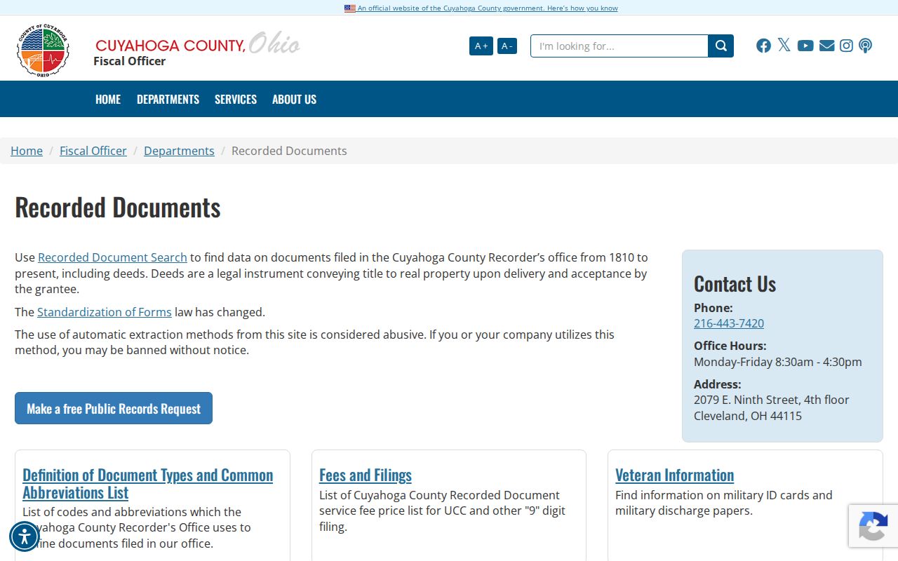
The office route remains important when a search needs an official copy, fee guidance, or a record that requires staff assistance.
Mayfield Heights Criss-Cross Listings
The Cleveland Public Library’s Center for Local and Global History is the documented shelf for address-arranged historical listings. Its guide identifies 83 suburban Cleveland directory volumes from 1924 to 1963. Separate directories for larger suburbs began in 1924, and East Suburban and West Suburban titles consolidated that approach in 1964. A Mayfield Heights address may therefore need to be checked under former township or eastern-suburb geographic coverage.
Criss-cross listings began appearing at the end of most Cleveland and suburban volumes in 1929. CPL lists print holdings for 1923, 1925, 1926, 1960 to 1993, and 1996 to 2010, with additional microfilm runs. Search the exact or approximate number, preserve the edition and page, then move to the alphabetical section if the listed surname needs more context. The collection is a dated listing, not a census.
The historical volumes are explored in more depth through the Mayfield Heights city directories.
Mayfield Heights Street Names Before Cityhood
Older records may not use the modern Mayfield Heights label. The official city history places the area in Mayfield Township, established in 1819. Mayfield Heights became a village in 1925 and a city in 1951. It also identifies State Road as the earlier name for Mayfield Road. Those changes matter when a directory, map, church record, or deed appears under a township or neighboring eastern-suburb label.
Do not invent a local renumbering rule. The research did not verify a Mayfield Heights citywide renumbering ordinance or date. Preserve the street form that appears in the record, then use the parcel’s legal description and a plat or map to test whether it matches the modern address.
Note: A historic place name is a search term to test, not proof that a similarly named modern address is the same parcel.
Mayfield Heights Voter Record Checks
Ohio My Voter Information requires a first name, last name, and county, then returns limited registration, precinct, and polling information for a match. It is a named-person check, not a street-browsing feature. The Cuyahoga Board of Elections also has a city-district download route labelled for Mayfield Heights, but it is distinct from a map tool and should be handled with the state’s public-record limits in mind.
A missing result does not prove that someone is absent from an address. Search terms can vary, and Safe at Home participants’ voter records are excluded from public lookup. Never try to identify protected voters, and never treat participation history as a ballot choice.
Limits of a Mayfield Heights Street Directory
A public property chain identifies a recorded real-estate interest. It does not identify every current resident. A tax mailing address can belong to an off-site owner, trustee, estate, management address, or post-office box. A criss-cross result is limited to the listed subscriber or occupant for that edition. City files can contain redactions, and vehicle, utility, delivery, and protected voter information are not a public street roster.
When a record is incomplete or wrong, preserve the parcel, document, or request number and ask the originating custodian about the correction or copy process. An absence or redaction is not a reason to infer private information.
Lawful use. Use Mayfield Heights street records for lawful personal, family-history, civic, estate, or consumer-safety questions. Do not use an address record to stalk, harass, intimidate, or harm anyone.